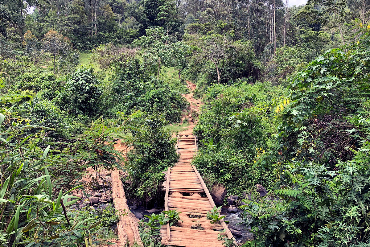
The first time I went on a biodiversity monitoring trip in the Kafa Biosphere Reserve, in Ethiopia, I was amazed by the montane cloud forest. If it wasn’t for the community members who knew the forest like the back of their hands, I would’ve been lost in minutes. Being dependent on its wild coffee, herbs and honey, they had ventured into the forest many times, familiarising themselves with its plant and animal species. Who would be better at monitoring biodiversity in this forest than the community members themselves?
The trip was part of an assignment to set up a community based data collection system for biodiversity monitoring in the Kafa Biosphere Reserve, an initiative of the Nature And Biodiversity Conservation Union (NABU). After training forest rangers to collect data on biodiversity, forest disturbance and carbon monitoring in cooperation with Wageningen University, NABU was looking for a way to engage local communities in the monitoring of the forest. They chose Akvo to operationalise the monitoring system at community level.
This community based approach is part of a broader citizen science movement, in which citizens themselves collect and analyse data by performing measurements or making observations. In this blog, we share seven steps to setting up a community based data collection system. Each system will be different, and tailoring the system to the local context is key. These steps can help to inspire and guide similar initiatives.
1) Identify the monitoring objectives
In the inception phase, everyone involved needs to agree on the main objectives of the monitoring system in order to align expectations. In the case of this NABU project, the main objective was to set up a digital data collection system on biodiversity and to engage community members in the monitoring process. It was key to identify the monitoring objectives in a participatory way with all stakeholders, from local farmers to natural resource experts. With everyone aligned, a steady stream of biodiversity data could be submitted to a local server for use in research, analysis, and ultimately to inform decision makers, such as the Kafa Biosphere Reserve administration.
2) Select participants for monitoring
The next step is to select the right participants to implement the monitoring system. In the selection process, it’s important to keep in mind that all stakeholders need to feel represented in the monitoring system. NABU selected a group of zonal experts, development agents, government officials, forest rangers and community members to join in the pilot. Community members were selected based on their involvement in participatory forest management (PFM) initiatives - an initiative in which community members sustainably manage a plot of forest land for community use without depleting the natural resources. By selecting these community members, we ensured that the participants had some prior level of knowledge on the importance of biodiversity, nature conservation, and plant and animal species.
3) Design the monitoring survey
The third step is the participatory process of selecting the monitoring species and their habitats. Two aspects were taken into account in this selection process: i) national and international policies and plans for conservation, and ii) knowledge of and relevance for the local communities. On the one hand, it was important to include key indicator species in the surveys as advised by biodiversity experts. On the other hand, community members had their own ideas regarding which species were important to monitor and we wanted to make sure that they could recognise the species in the monitoring tools. We involved them in the final design of the biodiversity monitoring survey to ensure alignment and buy-in from the start.
4) Digitise the monitoring survey
The fourth step is to digitise the monitoring survey. Choosing a mobile based data collection tool has a number of advantages. It supports GPS tracking, photo inputs, question dependencies, and local language input. The availability of GPS data is important for interpreting the data. This was essential for the Kafa Biosphere Reserve - was the data captured in the core forest, the periphery, or the participatory forest management areas? As the project is implemented by an international team, the ability to input and export data in multiple languages was crucial for the success of the project. Internet connectivity can be a challenge in the Kafa region, but the mobile app automatically saves data until it can make a stable Internet connection for submitting the data to the cloud - in this case, in the NABU office in Bonga.
5) Train community members
The fifth step is to train the community members in capturing and monitoring data. This is essential for the scalability and sustainability of the project. After the survey tool was designed and digitised for the NABU project, we trained the community members to work with the data collection app and smartphone. This training workshop was not only organised to teach the community members the required technical skills, but also to pilot the tools in the field to see how community members interacted with the app and to adjust the surveys if needed. While most community members understood the app and the questions quite well, we realised that one of the questions, requiring community members to measure a geoshape, was too difficult. Therefore, together with all everyone involved, we decided to focus on collecting biodiversity data with the community members and leave the forest disturbance measurements to the forest rangers.
6) From data collection to decision making
Now that the first steps to setting up a community based data collection efforts have been established, the data needs to be put to good use. What needs to happen to the data in order for decision makers to understand it and translate it into action? The data collected in the NABU programme has the potential to influence decision making in the local government and to inform local policies in the use of forest resources. In order to tap into that potential, it’s important that the zonal experts and local government are trained in transforming the data to information that is useful for them.
7) Closing the loop
One of the most challenging aspects of these projects is figuring out the best way to provide feedback to the communities the data came from. Which format will be most digestible for them? How will they be able to validate the findings and how will we involve them in a follow up? A sustainable citizen science model should ensure that volunteers feel involved and heard, and that the data they are gathering is creating sustainable change, so they are motivated to continue their monitoring efforts.
Do you want to find out more about how we support citizen science programmes? Get in touch with us.
This blog was also written with input from Arun Pratihast, who used to work with Akvo and is now a data scientist at Wageningen University. With special thanks to the NABU project team in the Kafa Biosphere Reserve, especially Mesfin Tekele and Anja Teschner from NABU HQ in Berlin for their support in the project implementation and to Abera Hoeto and Admassu Asefa for training over a 100 community members.